It was time to leave São Miguel and head to the next island, Faial. The flights between the islands felt like buses—running frequently, with people coming and going at each stop.

Faial may be small (14 miles long and nine miles wide), but it’s probably the most well-known of the Azores islands.
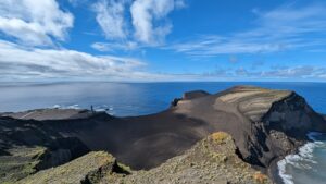
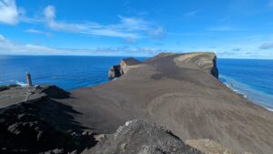
First reason – Faial is so well-known for its volcanic history, particularly the most recent eruption from September 1957 to October 1958. This eruption began underwater, eventually making its way to the surface and releasing enough ash, sand, and lava to create a new landmass (more than 2500 feet) that nearly buried the nearby lighthouse. The eruption lasted for 13 months. In June 1958, U.S. legislators introduced the Azorean Refugee Act, allowing displaced Azoreans to emigrate to the United States which triggered a wave of immigration, resulting in over 175,000 Azoreans moving to the U.S. between 1960 and 1980.
So this is where we headed to see this troublemaker with own eyes.
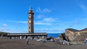
The partially buried lighthouse is a fascinating structure. Inside, there are various photo and video displays explaining not just the 1957/58 volcanic eruption but also the geology of volcanoes in the Azores and worldwide. Visitors can climb the stairs to the top for a stunning 360-degree view of the surrounding area.
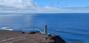
Also there is a trail that goes up the hill with even more spectacular views of the area. Its a “sand in the eyes” type of hike, but I didnt regret once I saw a panoramic view of the volcanic landscape, the buried lighthouse, and the surrounding coastline. The perspective from the top is something else. From that viewpoint, I could truly appreciate the scale of the eruption and imagine how terrifying it must have been for the locals.
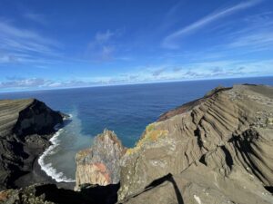
Next to Capelinhos, there is a Porto do Comprido, a swimming hole with crystal-clear water. While it might be a bit too cold for swimming, it’s warm enough to soak feet and enjoy the beautiful surroundings.
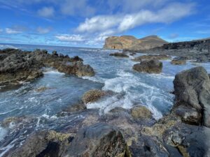
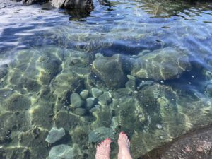
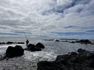
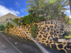
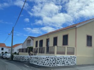
Faial is a charming island, and it seems “cow print” is quite the trend there. I spotted houses, fences, and walls adorned with this pattern. Coupled with the beautiful hydrangeas blooming all around, it creates a picturesque atmosphere.
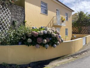
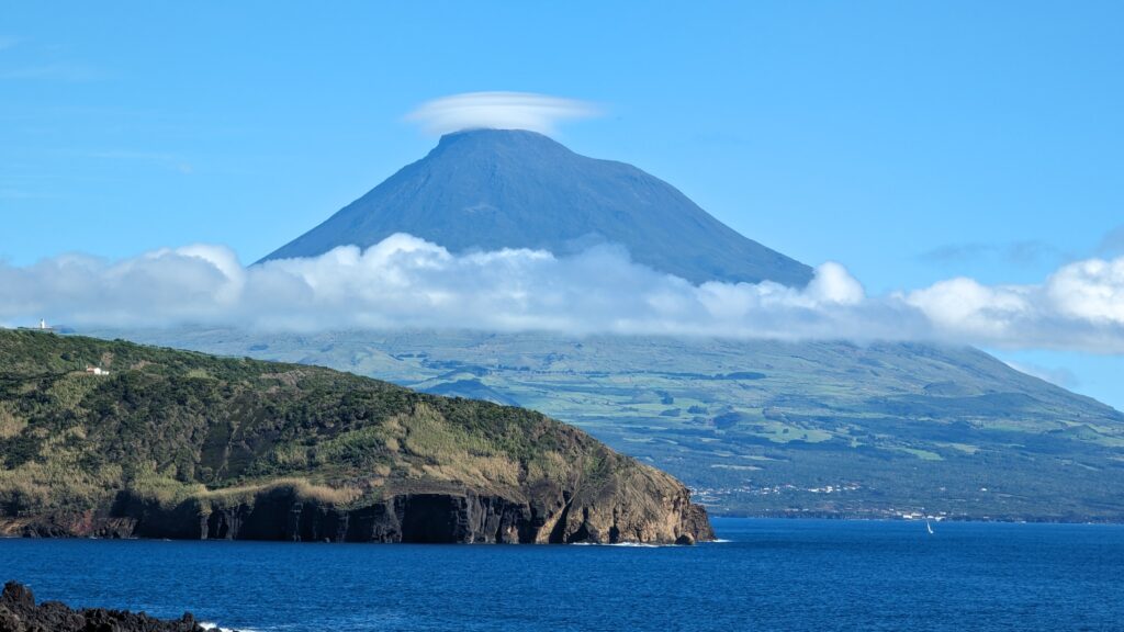
What truly distinguishes Faial from the other islands is the stunning view of Pico Mountain. Pico is Portugal’s highest peak. Located on neighbor’s Pico Island, it is a dormant stratovolcano and part of the Azores archipelago.
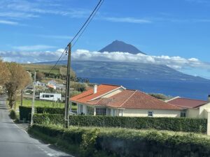
Apparently, we were lucky to see Pico Mountain uncovered by clouds that day. Over the next two days, the peak remained hidden behind a thick layer of mist, and we didn’t get another clear view of it.
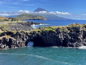
To fully appreciate the mountain’s beauty, we decided to drive to the top of another volcano—Caldeira do Faial.
The road to Caldeira do Faial was as scenic as ever in the Azores, lined with towering trees and vibrant hydrangeas, with glimpses of the ocean and views of Pico Mountain.
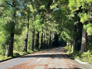
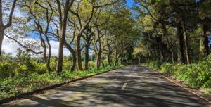
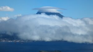
However, we started noticing that Pico was beginning to dress up and put on a wispy hat of clouds.
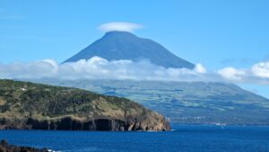
The higher we climbed, the more Pico covered itself.
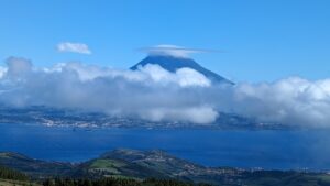
By the time we reached the top, it looked like Kung Fu Panda in action.
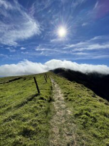
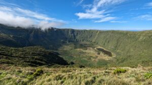
The Caldeira is another result of volcanic activity on Faial Island. It features tall green walls and a few small lakes at the bottom. One of the most popular hiking trails on the island is the “Volta à Caldeira,” which circles the rim of the crater. The hike is about 7 km long and relatively easy.
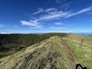
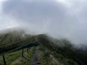
We started the hike, but after about 1 km, we noticed the thin clouds on the other side of the rim quickly growing thicker and thicker.
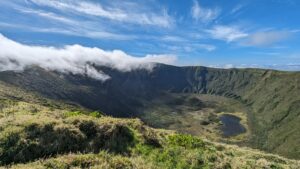
So we decided to turn back before the mist enveloped us completely. Perhaps we missed a memorable adventure, but it’s better than risking a fall off the cliff.
